Skip to main content
City of Burbank, CA
BPL Home
Menu
Search
Browse Collections
Burbank History
Burbank History
Timeline
Resources
Podcast
About Us
About Us
Frequently Asked Questions
Collection Development Policy
Contact Us
Search
You are here
Home
Browse Collections
Around Burbank: Businesses, Homes, and Streets
Aerial and Scenic Images of Burbank
Aerial and Scenic Images of Burbank
Aerial photos of Burbank.
Grid view
List view
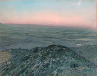
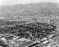
1908 - Aerial View of San Fernando Valley
1908 - Aerial View of San Fernando Valley
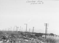
1919 - Central Avenue View No. 3
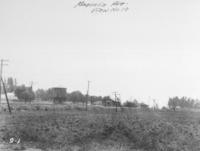
1919 - Magnolia Avenue View No. 10
1919 - Verdugo Avenue
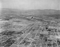
1922 - Aerial View of Burbank
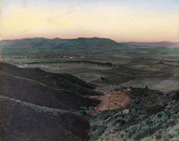
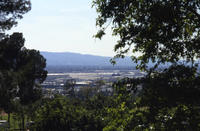
1922 - View of Burbank from the Verdugo Hills
1924 - Aerial View of San Fernando Road
1927 - Olive Avenue looking south from Sunset Canyon Drive
1929 - Aerial View of Burbank
1929 - Aerial View of Burbank
1930s - Aerial View of Burbank Airport
1930s - Aerial View of Burbank Airport
1935 - Aerial view of Burbank
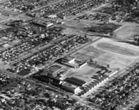
1940s - Aerial View of Abraham Lincoln Elementary School
1940s - Aerial View of Burbank
1940s - Aerial View of Burbank High School
1948 - Air Force Day at Lockheed Air Terminal
1950s - Aerial View of Bret Harte Elementary School
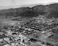
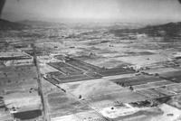
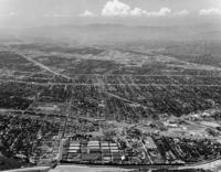
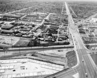
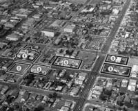
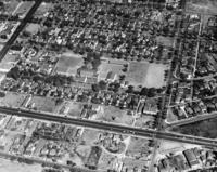
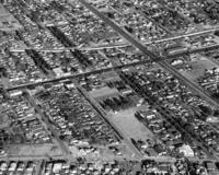
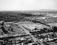
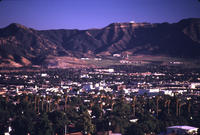
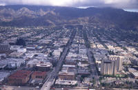
1950s - Aerial View of Burbank
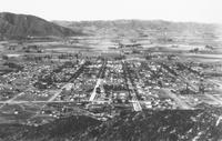
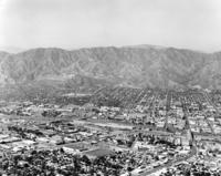
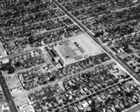
1950s - Aerial View of Burbank
1950s - Aerial View of Burbank
1950s - Aerial View of Burbank
1950s - Aerial View of Burbank
1950s - Aerial View of Burbank
1950s - Aerial View of Burbank
1950s - Aerial View of Burbank
1950s - Aerial View of Burbank
1950s - Aerial View of Burbank
1950s - Aerial View of Burbank
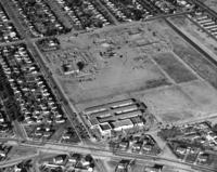
1950s - Aerial View of Burbank Adult School
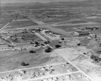
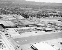
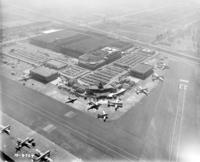
1950s - Aerial View of Burbank Airport
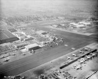
1950s - Aerial View of Burbank Airport
1950s - Aerial View of Burbank Airport
1950s - Aerial View of Burbank Airport
1950s - Aerial View of Burbank at Olive Avenue Bridge South Facing
1950s - Aerial View of Burbank from Third and Cypress Southeast Facing
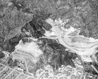
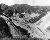
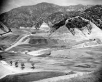
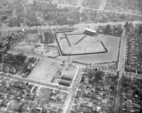
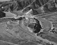
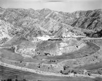
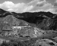
1950s - Aerial View of DeBell Golf Course Construction
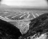
1950s - Aerial View of DeBell Golf Course Site
1950s - Aerial View of DeBell Golf Course Site
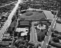
1950s - Aerial View of John Burroughs High School
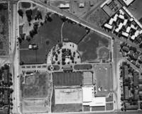
1950s - Aerial View of McCambridge Park
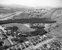
1950s - Aerial View of Olive Park
1950s - Aerial View of Olive Park
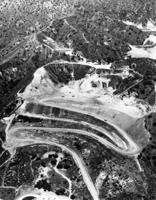
1950s - Aerial View of Stough Canyon Park and Landfill
1950s - Aerial View of Theodore Roosevelt Elementary School
1950s - Aerial View of Thomas Edison Elementary School
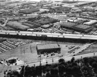
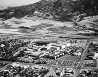
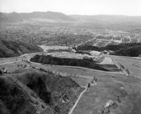
1950s - Aerial View of Walt Disney Studios
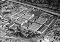
1950s - Aerial View of Warner Brothers Studios
1950s - Aerial View of William McKinley Elementary School
1950s - Olive Avenue Bridge
1953 - Aerial View of Stough Canyon Park and Landfill
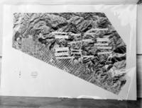
1956 - Picture of Aerial Map
1959 - Aerial View of Burbank
1959 - Aerial View of Burbank
1959 - Aerial View of Stough Canyon Park and Landfill
1960 - Aerial View of Burbank
1960s - Aerial View of Brace Canyon Ball Park and Tennis Courts
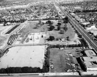
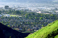
1960s - Aerial View of Burbank
1960s - Aerial View of Burbank
1960s - Aerial View of Burbank
1960s - Aerial View of Burbank
1960s - Aerial View of Burbank
1960s - Aerial View of Burbank
1960s - Aerial View of Burbank
1960s - Aerial View of Burbank
1960s - Aerial View of Burbank
1960s - Aerial View of Burbank
1960s - Aerial View of Burbank
1960s - Aerial View of Burbank
1960s - Aerial View of Burbank
1960s - Aerial View of Burbank
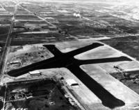
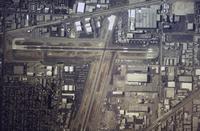
1960s - Aerial View of Burbank Airport
1960s - Aerial View of Burbank Landfill and Starlight Bowl
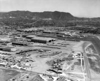
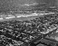
1960s - Aerial View of Burbank and Lockheed
1960s - Aerial View of Columbia Ranch
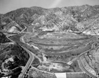
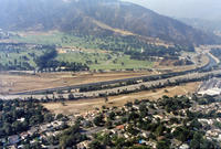
1960s - Aerial View of DeBell Golf Course
1960s - Aerial View of DeBell Golf Course Construction
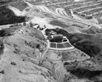
1960s - Aerial View of DeBell Golf Course and Castaway Restaurant
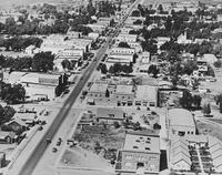
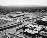
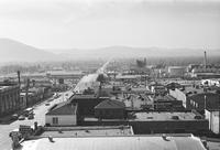
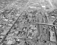
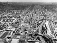
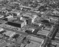
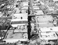
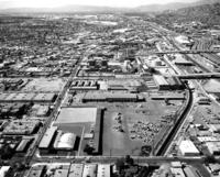
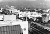
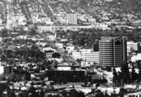
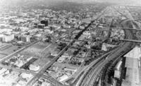
1960s - Aerial View of Downtown Burbank
1960s - Aerial View of Forest Lawn Hollywood Hills
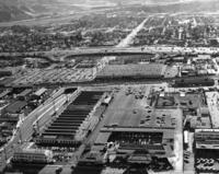
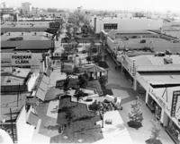
1960s - Aerial View of Golden Mall
1960s - Aerial View of Golden Mall Facing West
1960s - Aerial View of Olive and Magnolia Bridges
1960s - Aerial View of Olive and Magnolia Bridges
1960s - Aerial View of Olive and Magnolia Bridges
1960s - Aerial View of Police Pistol Range
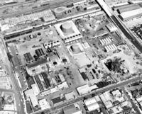
1960s - Aerial View of Public Service Department
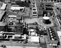
1960s - Aerial View of Public Service Department
1960s - Aerial View of Public Service Department
1960s - Aerial View of Public Service Department
1960s - Aerial View of Public Service Department
1960s - Aerial View of Public Works Yard
1960s - Aerial View of Public Works Yard
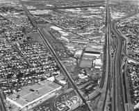
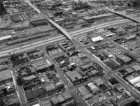
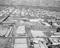
1960s - Aerial View of San Fernando Road Facing West
1960s - Aerial View of Starlight Bowl
1960s - Aerial View of the Groundbreaking for Hollywood Way Post Office
1962 - Aerial View of DeBell Golf Course Construction
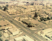
1963 - Aerial View of Hollywood Way and Pacific Avenue
1963 - Aerial View of Hollywood Way and Pacific Avenue
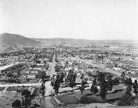
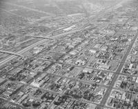
1970 - Aerial View of Burbank
1970 - Aerial View of Burbank
1970s - Aerial View of Burbank Airport
1970s - Aerial View of Magnolia and Victory Boulevards
1970s - Aerial View of Public Service Department
1974 - Aerial View of Burbank
1976 - Aerial View of Olive Avenue looking North
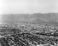
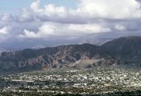
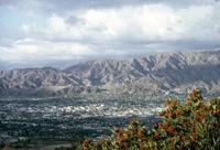
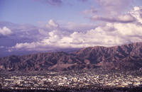
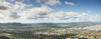
1976 - View of Verdugo Mountains
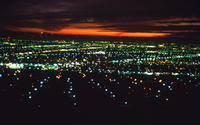
1977 - Aerial Photograph of Burbank at Night
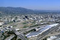
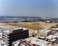
1980s - Aerial View of 41 Acres Development Site
1980s - Aerial View of Burbank
1980s - Aerial View of Burbank
1980s - Aerial View of Golden Mall
1980s - Aerial View of Holiday Inn Hotel
1980s - Aerial View of NBC Plaza
1980s - Aerial View of the 5 Freeway Alameda Offramp
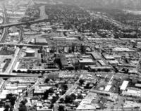
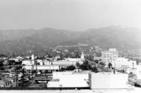
1981 - Aerial View of Downtown Burbank
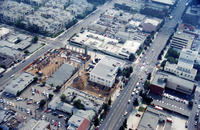
1982 - Aerial View at Olive Avenue and Third Street
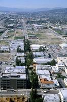
1984 - Aerial View of Alameda and Olive
1984 - Aerial View of Downtown Burbank
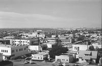
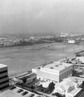
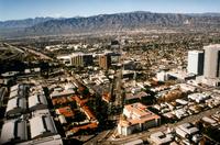
1984 - Aerial View of south Burbank
1985 - Aerial View of Burbank
1985 - Aerial View of Burbank
1985 - Aerial View of Burbank
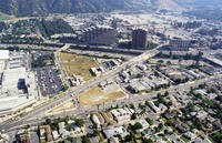
1988 - Aerial View of 41 Acres Development Site
1988 - Aerial View of 41 Acres Development Site
1988 - Aerial View of 41 Acres Development Site
1988 - Aerial View of 41 Acres Development Site and YMCA
1988 - Aerial View of Burbank
1988 - View of Burbank from Brace Canyon Park
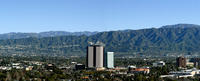
1990s - Aerial View of Burbank and Warner Brothers Buildings
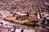
1994 - Aerial View of McCambridge Park
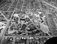
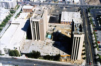
1994 - Aerial view of Courthouse and surrounding area
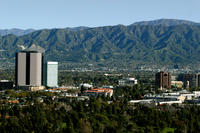
1996 - Aerial View of Burbank
2000s - Aerial View of Burbank
2000s - Aerial View of Burbank
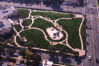
2002 - Aerial View of Abraham Lincoln Park
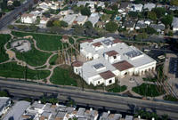
2002 - Aerial View of Buena Vista Library
2003 - Aerial View of Burbank
2005 - Aerial View of Burbank
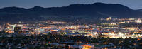
2013 - Aerial View of Burbank in the Evening
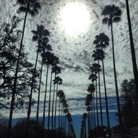
2014 - Palm Trees and Cloudy Skies on Bel Aire Drive
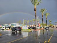
2022 - Rainbow Over Empire Center